
Climate change has created a variable scenario in terms of rainfall distribution, leading to a greater challenge in water cycle management and increased costs in treatment and distribution. To address this challenge, digital transformation and new tools to optimize processes will be key to managing the challenges of rainfall variability.
Given this future scenario, BIM (Building Information Modeling) is one of the essential tools to achieve digital transformation in water cycle infrastructures, as it allows improving the traditional work methodology in the design, execution and operation of such infrastructures. The operation of BIM consists of the development of a virtual collaboration model in which all the graphic, economic and temporal information is integrated, allowing the different agents to work in the corresponding phases of the life cycle of the infrastructure. Therefore, thanks to BIM it is possible to quantify the benefits in the construction, maintenance of sanitation or water treatment systems, among other relevant data for water cycle infrastructures.
Even so, future challenges in the field of water optimization have forced administrations to incorporate BIM into current processes. However, it is necessary to incorporate more existing elements in the management of the water cycle.
The digital twin, developed from construction and extended in the rest of the BIM phases, oversees integrating the information associated with the CMMS, SCADA or the existing operation support systems in the infrastructure. It is an important achievement to reach this level of integration, although it is shown that it is insufficient because there is not a complete vision for an optimal management.
Another useful tool today are GIS systems that provide geographic information on infrastructures. This system extends the data provided by the digital twin, which means a consolidation of the BIM+GIS systems in the evolution of the processes in the water cycle infrastructures, improving the quality of the information. In addition, the GIS is key in infrastructure planning or in the operation and maintenance phases, as it provides significant benefits in the modeling of the natural environment.
On the other hand, to complete the digital model formed by BIM+GIS systems, it is necessary to implement big data. With large amounts of data, of better or worse quality, it is possible to extend the digital modeling and achieve the required holistic view. Data and data analysis have developed the creation of powerful Decision Support Systems (DSS) platforms to further improve the management of the water cycle at all levels.
To address the challenges of the future, digital transformation will be one of the catalysts for efficiency in water cycle processes.
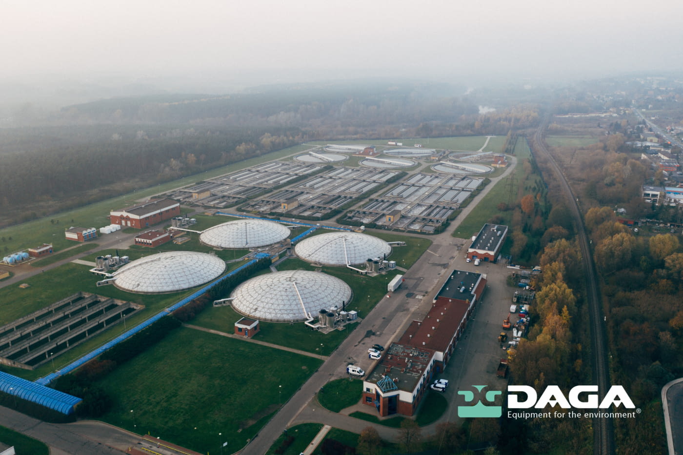
DAGA and its commitment to water management
Digitalization is a key factor in facing the challenges of climate change in the water sector, as digital tools will facilitate the maximum optimization of water systems. One of our missions during more than six decades of experience is the efficient management of water, focusing on environmental sustainability and the constant improvement of processes.
If you want to know more information, we encourage you to visit our blog.